Ground Penetrating Radar (GPR) Inspection Services
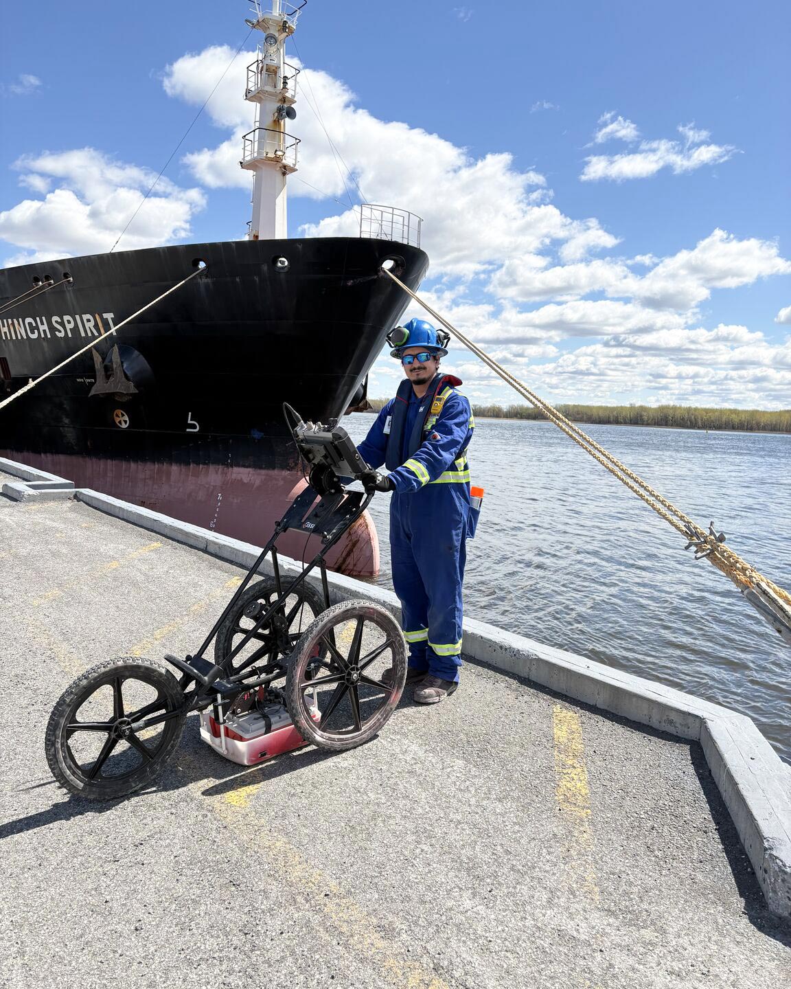
Ground Penetrating Radar (GPR) is a non-destructive testing (NDT) method used to detect embedded objects, utilities, voids, rebar, and structural anomalies beneath concrete, soil, and other surfaces. Acuren provides advanced GPR inspection services for infrastructure, industrial facilities, utilities, and construction projects in Ontario and across North America.
Acuren’s advanced GPR technology provides fast, accurate, and dependable subsurface imaging for precise results you can trust.
Whether it’s a standard excavation or new service installation, a geophysical map for the purposes of engineering, or an environmental assessment, Acuren is there with you. With our innovative technology and industry-leading talent, Acuren’s Ground Penetrating Radar (GPR) is the safest, quickest and most accurate method that our technicians use for locating rebar, post-tension cable, conduits, utilities, faults, and other hidden structures within concrete.
Our interior and exterior GPR examinations allows project pre-planning by assessing concrete in 2D & 3D formats:
Work with us- Interior
- Exterior
Interior
- Concrete cutting / coring / drilling or demolition
- Protection / detection of concrete for embedded services
- Engineering for the purposes of concrete structure modification
- Structurally assess, map and report on both concrete structural features and reinforcement of buildings, bridges and other structures
Exterior
- Excavation
- Boreholes
- Horizontal drilling
- Void detection
- Geophysical / Geological mapping
- Utility Damage Prevention
- Forensics investigations
- Tank detection and mapping
Frequently Asked Questions (FAQ) – Ground Penetrating Radar (GPR) Services
How does GPR assist with cutting and coring?
Before cutting or coring into concrete, GPR scanning helps locate embedded objects such as rebar, post-tension cables, and conduits. This prevents accidental damage, ensuring a safer and more efficient cutting or coring process.
Can GPR be used before excavation and borehole drilling?
Yes, GPR is an essential tool for identifying underground utilities, voids, and other potential hazards before excavation or borehole drilling. This minimizes risks, reduces costly delays, and ensures regulatory compliance.
How is GPR used for non-destructive testing (NDT) of concrete structures?
GPR allows for non-invasive assessment of concrete structures by detecting internal components like rebar, voids, and delaminations without requiring destructive testing. This method helps evaluate the condition of bridges, buildings, and other concrete infrastructure.
How effective is GPR for detecting and mapping underground utilities?
GPR is a reliable solution for mapping underground utilities, including gas, water, electrical, and communication lines. It provides real-time imaging to help prevent accidental damage during excavation and construction projects.
Can GPR be used for archaeological investigations?
Yes, archaeologists use GPR surveys to detect buried structures, artifacts, and historical remains without disturbing the site. This non-invasive method helps preserve cultural heritage while guiding excavation efforts.
How does GPR assist in locating underground storage tanks (USTs)?
GPR is widely used to detect and map abandoned or unknown underground storage tanks (USTs). It identifies their location, size, and depth, aiding environmental assessments and regulatory compliance.
What role does GPR play in environmental assessments?
GPR is crucial in environmental site assessments (ESAs) by detecting subsurface contamination, buried tanks, and soil disturbances. It helps environmental professionals evaluate potential risks without invasive drilling.
How is GPR used in road and subsurface investigations?
GPR helps assess pavement thickness, voids, and subsurface conditions in roads, bridges, and tunnels. This aids in planning maintenance and identifying structural weaknesses before they become major issues.
Can GPR detect underground voids?
Yes, GPR is highly effective for void detection beneath concrete slabs, roads, and other structures. Identifying these gaps early helps prevent costly repairs and structural failures.
Talk to a GPR Inspection Specialist
Need to locate utilities, scan concrete, or assess subsurface conditions? Acuren provides fast, accurate Ground Penetrating Radar (GPR) services to help reduce project risk, prevent costly damage, and improve site safety.
Download Brochure
Additional Services
Engineering
Acuren’s world-class teams of over 100 engineers have extensive experience both in the field and in our laboratories to provide a higher level of reliability.
Learn More →Inspection
Acuren offers you an unrivaled spectrum of traditional and advanced nondestructive testing and NDE methods to ensure cost-effective and accurate inspection results.
Learn More →NDE/NDT
NDT is the number one choice for most inspections of industrial infrastructure, safety critical parts and fabricated components.
Learn More →Success Stories
Flare Stack - Extending Operating Life of Critical Legacy Asset
Integration across Acuren service lines achieves cost-effective and timely asset life extension This oil and gas customer had a 60-year-old flare stack with cracking and corrosion that was approaching its...
Learn More →Solution Brief - Acuren Partners with An Energy Leader to Provide Access Solutions
Problem Acuren has partnered with an energy company to support their TA/Maintenance program in Fort McMurray, Canada Launched in the fall 2016, an access planner works with planning and execution...
Learn More →Complex Deep Excavation Integrity Inspection Completed In Time and Under Budget
Project Impact Successful inspection and repair of feature, in accordance with PHMSA regulationsPrevented costly purge and downtime for difficult HDDMinimized traffic disruption.Restore pipeline operating pressure.In time, under budget. Integrity management...
Learn More →