Acuren Cathodic Protection Services
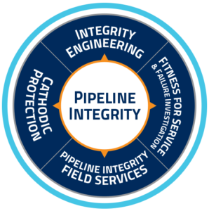

Cathodic Protection Systems: Engineering & Construction
- Manage all aspects of the construction of cathodic protection systems including:
- System design
- Material selection
- Pre-job one calls and ground disturbance notifications
- Coordination of any required subcontractors
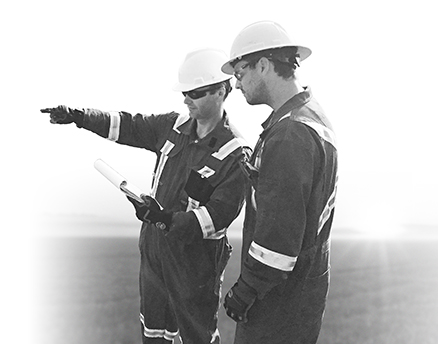
- Installation and commissioning
- AC mitigation
- A full report and as-built drawings of all installations is provided within 30 days of project completion
- Commission newly installed cathodic protection systems immediately following construction or connections of new pipelines into existing cathodic protection systems
- Turn-key direct assessment programs
- Pre-assessment – review of current and historical data, determine feasibility, tool selection, define regions
- Indirect Survey services
- Direct Examination / exploratory digs evaluation
- Post-assessment – root cause analysis, mitigation determination, severity ranking, reassessment interval, remaining life calculations
Cathodic Protection for Monitoring & Maintenance
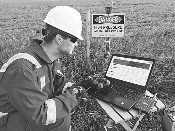
- Annual compliance surveys, traditional or RMU method
- Ongoing maintenance and remedial repairs
- Remote monitoring installation and management
- Data management
Cathodic Protection Through Indirect/Over-The-Line Inspection
- Direct Assessment Programs
- Depth of cover
- Close Interval Potential Survey (CIPS)
- Right of way status and points of interest
- Current attenuation
| WHY ACUREN? |
|---|
|

 CSV file can be uploaded directly into customer’s system – no proprietary software required.
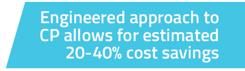
All surveys can be completed in one pass = Cost saving to clients
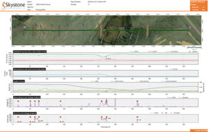
Simultaneous Data Acquired By HawkEye
Standard services included:
|
Additional services available:
|
HawkEye System Features
- Utilization of three constellations to minimize signal drops
- Digital signal processing filters remove noise and separates signals without having to add external filters
- Analysis algorithm uses the entire collected waveform
- Data overlaid on Google Earth along with legal land description
- GIS compatible – uploadable into owner systems
- Data stored on hard drive in the field – less risk of data loss
Why HawkEye?
- Beyond max/min – unlike other systems which just measure max and min, HawkEye utilizes high speed (up to 200 Khz) digitizing with complete waveform analysis for all data streams
- Precision – utilizes sub-decimeter (3-5 cm) GPS positioning for improved accuracy
- Stability – system can operate on wifi or bluetooth connections for better stability
- Robust reporting – utilizes satellite imagery rather than schematics and can be overlaid with Google Earth and legal land description
- No proprietary encrypted software – raw data available in a transparent .csv file
- Data management – owners can upload, manage and utilize the data within their own systems